
Tai Po district guide: housing, transport and school nets
Tai Po district wraps around Tolo Harbour and covers Tai Po Market, Tai Wo, Pak Shek Kok, Tai Po Kau, Hong Lok Yuen, Lam Tsuen and Tai Mei Tuk. The town centre has public and private estates, Pak Shek Kok has newer estates, and the countryside is mainly village houses. The East Rail Line serves it, and the district is Primary One school net 84.
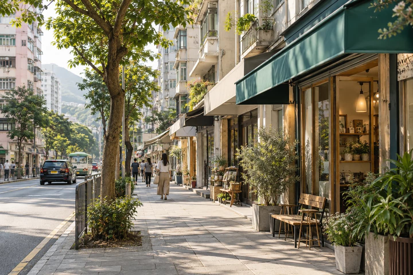
What is Tai Po district like?
Tai Po district is in the eastern New Territories. Tai Po new town is built around Tai Po Market and Tai Wo stations; Pak Shek Kok is a newer residential area near the Hong Kong Science Park; and Lam Tsuen, Ting Kok and Tai Mei Tuk are countryside and villages.
The area names most used when searching are Tai Po Market, Tai Wo, Pak Shek Kok, Tai Po Kau, Hong Lok Yuen, Lam Tsuen and Tai Mei Tuk.
What kinds of home are there?
Tai Po town centre has public estates such as Tai Yuen Estate and Fu Shin Estate and private estates such as Tai Po Centre and Serenity Park. Pak Shek Kok has several mid- to high-rise private estates completed in recent years.
Hong Lok Yuen and Tai Po Kau are mainly houses and low-density homes; Lam Tsuen, Ting Kok and Tai Mei Tuk are mainly village houses.
How do you get around?
The East Rail Line stops at Tai Po Market and Tai Wo, with trains running under the harbour to Admiralty. Tolo Highway leads to Sha Tin and Fanling. Pak Shek Kok has no MTR station, and residents take a bus or minibus to University or Tai Po Market Station; the rural areas rely on buses and minibuses.
Schools and school nets
For Primary One central allocation, Tai Po district is school net 84 (Tai Po District).
Nets are drawn by home address and may change each year, so check the address against the Education Bureau's information before buying or renting. For secondary school places, Tai Po district is one secondary school net, and a pupil's net follows the district of the primary school attended, not the home address.
Shops, parks and services
The town centre has Tai Po Mega Mall and the Tai Po Hui Market, and Tai Po Waterfront Park and the Tolo Harbour cycle track are the main places for recreation. The district has Alice Ho Miu Ling Nethersole Hospital and the Education University of Hong Kong.
What should you check when looking in Tai Po?
These points come up often in this district. The details of an individual home still need checking with the lister one by one.
- Pak Shek Kok: there is no MTR station, so check bus frequency and the journey time on Tolo Highway at peak hours.
- Village houses: check title, right of way, unauthorised structures, parking and drainage.
- Seafront and low-lying sites: ask about storm surge and flooding during typhoons.
- House estates such as Hong Lok Yuen: learn about the estate shuttle bus, the management fee, and who maintains the garden and external walls.
Common questions
Which school net is Tai Po district in?
For Primary One central allocation, Tai Po district is school net 84 (Tai Po District). Nets are drawn by address and may change each year, so rely on the Education Bureau's information for an individual address.
Does Pak Shek Kok have an MTR station?
Not at present. The nearest is University Station on the East Rail Line, reached by bus or minibus. The government plans to add a Pak Shek Kok station on the East Rail Line; the timing is as announced by the government and the MTR.